Background
The Mount Monger goldfield is located within the Kalgoorlie terrane subdivision of the Eastern Goldfields Province. Gold mining began in the Mount Monger area during the early 1900s. The Mount Monger goldfield is marked by a series of historic workings extending northward under recent shallow alluvial cover towards a significant drainage channel. Only sub-cropping mineralisation appears to have been exploited by early miners, with historic workings in the field typically extending to depths of no greater than 80 metres below the surface.
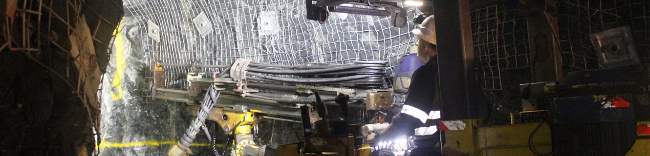
To date the Mount Monger Operation has produced gold from the Daisy Complex and Cock-eyed Bob underground mines as well as the Maxwells, Christmas Flat, Costello, Lucky Bay, Wombola Dam, Wombola Pit and Santa Area (including Rumbles and Fly Camp) open pits. Mining at Imperial/Majestic open pit and Maxwells underground operation commenced in FY17. All ore is processed at the 1.2Mtpa Randalls Processing Facility.
Location
The Mount Monger goldfield is located 50 km southeast of Kalgoorlie and is accessible via the Mount Monger road which is bitumen for 15 km then an all weather road for the remaining 35 km.